Michael Dutson Landscape Photography
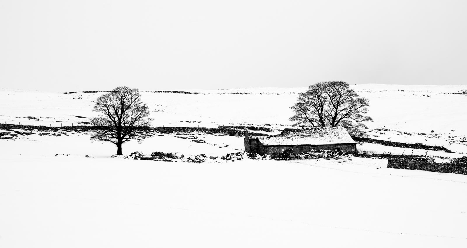
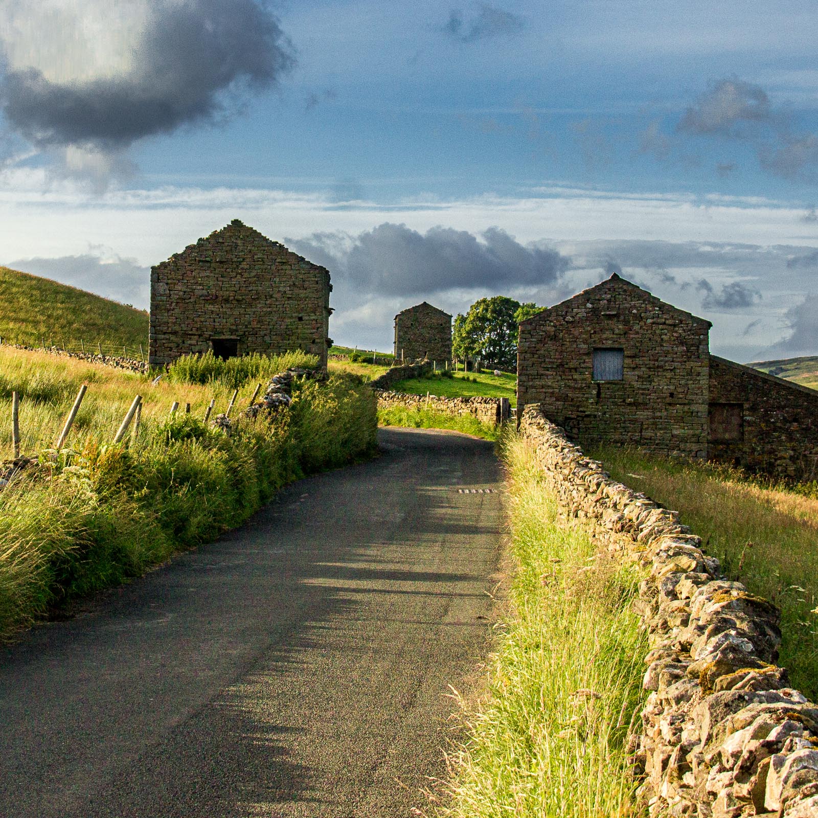
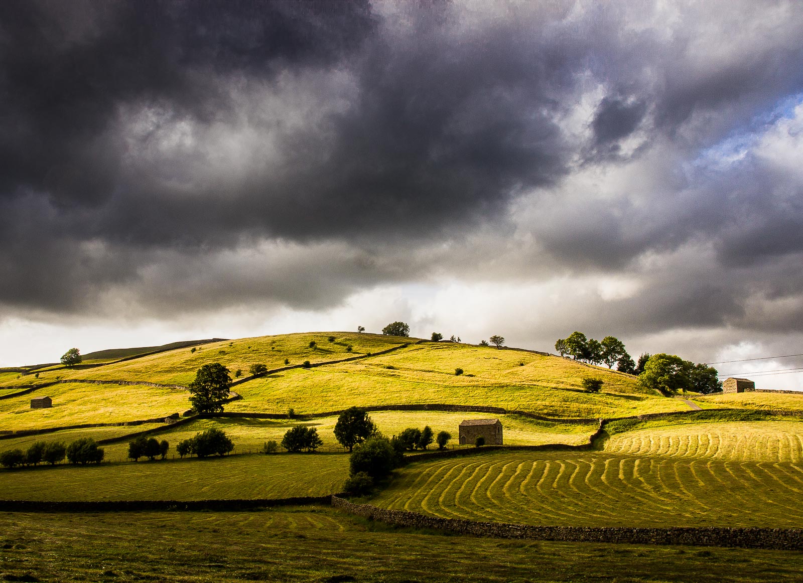
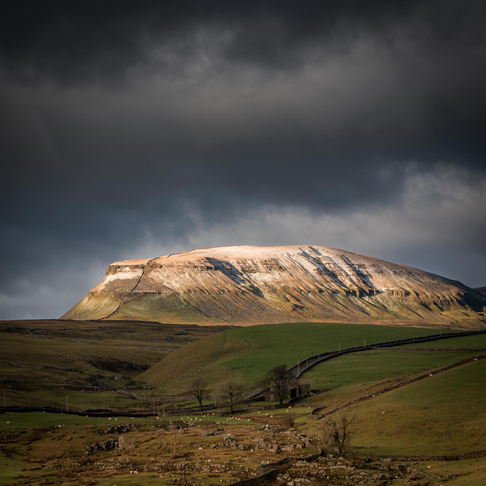
The Yorkshire Dales, a rugged expanse of natural beauty nestled in the heart of Northern England, captivate the senses with their timeless charm. Here, the passage of time seems to slow, as if the very landscape conspires to preserve the tranquillity of a bygone era. Rolling hills, cloaked in a patchwork quilt of lush green meadows, stretch as far as the eye can see, their contours sculpted by centuries of nature’s patient hand. Dry stone walls, a testament to the toil of generations, crisscross the countryside, forming serpentine patterns that define the landscape. These stone sentinels stand in silent tribute to the tenacity of the farmers who have shaped this land.
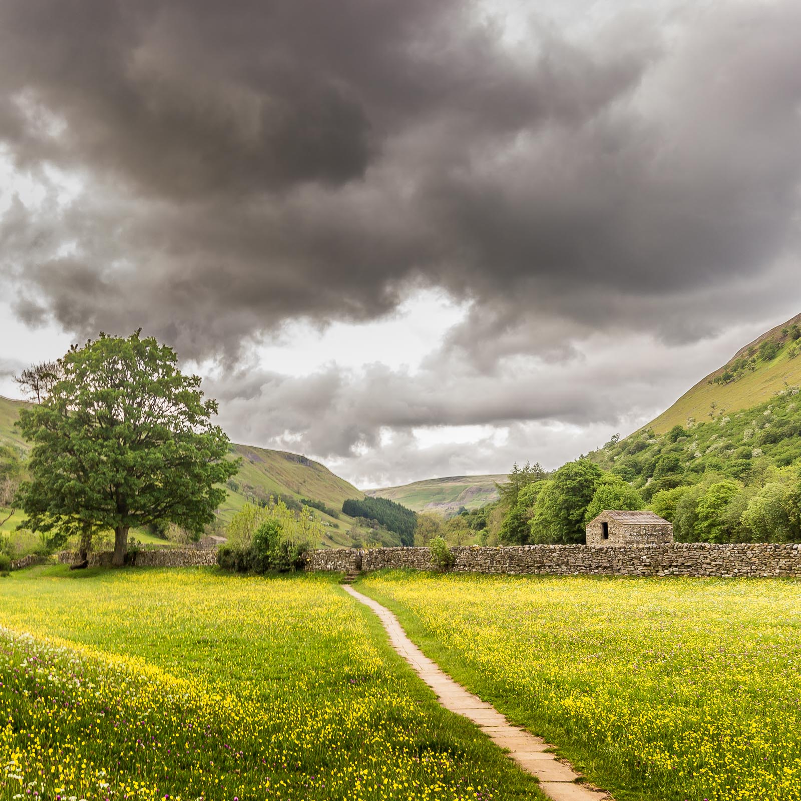
In the Dales, the seasons choreograph a symphony of colours. Spring breathes life into the valleys, as daffodils and bluebells carpet the meadows in vibrant hues. Summer invites picnics beside the babbling brooks, where the water’s soothing melody dances with the laughter of children. Autumn’s brushstroke paints the foliage in fiery reds and burnished golds, a grand finale before the quietude of winter.
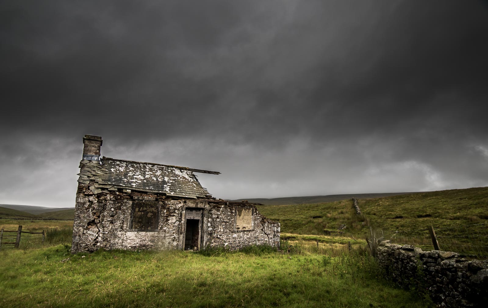
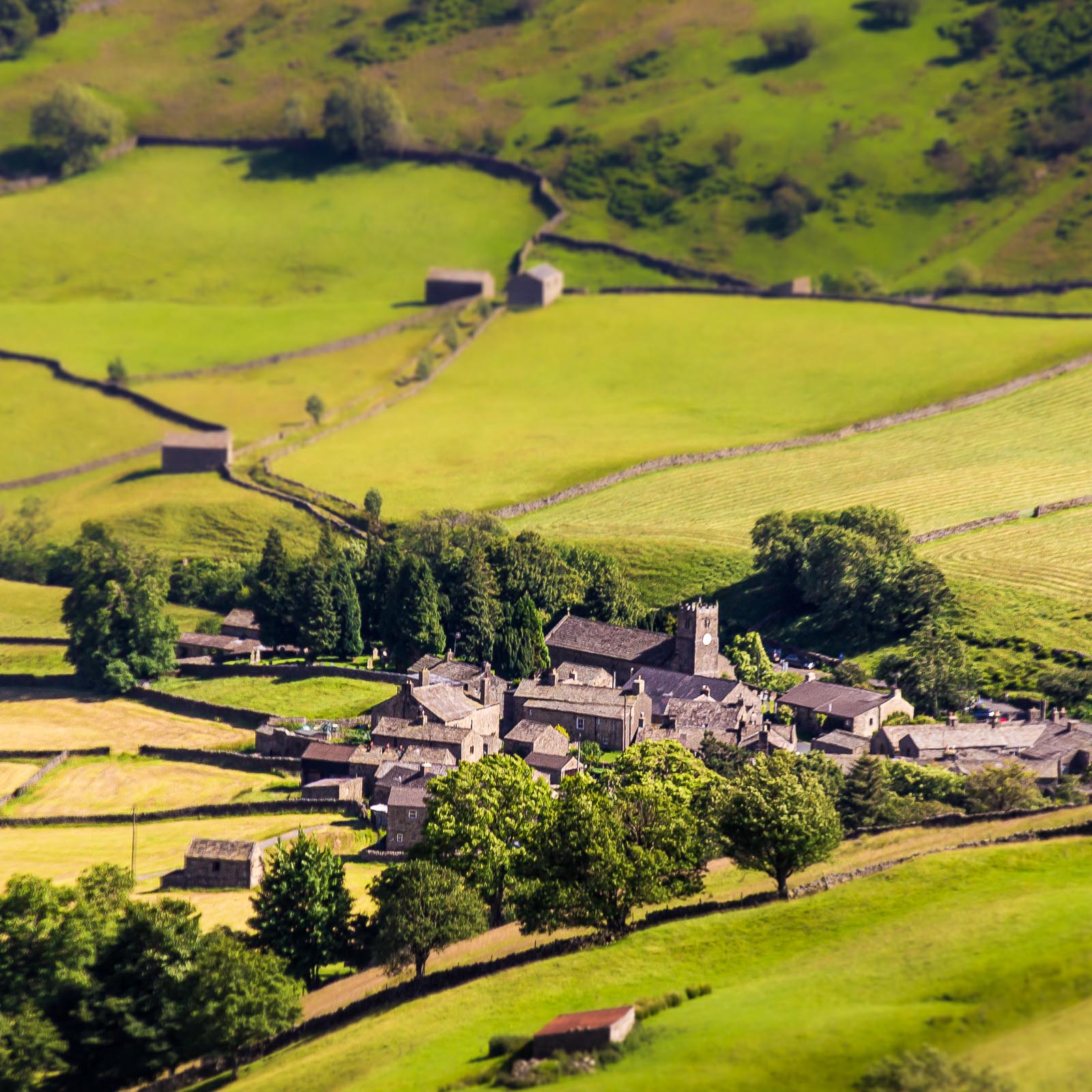
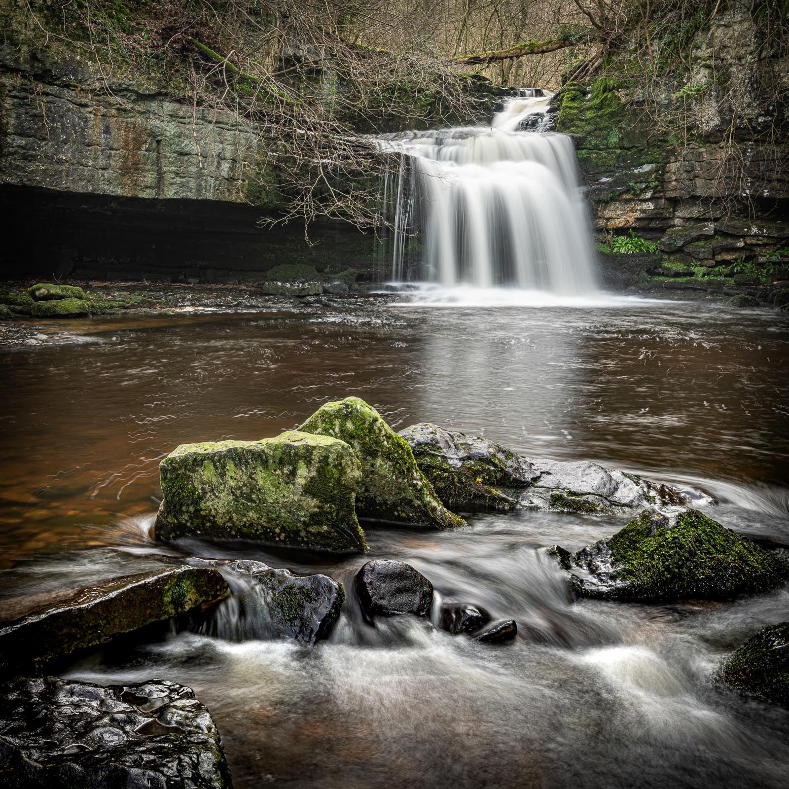
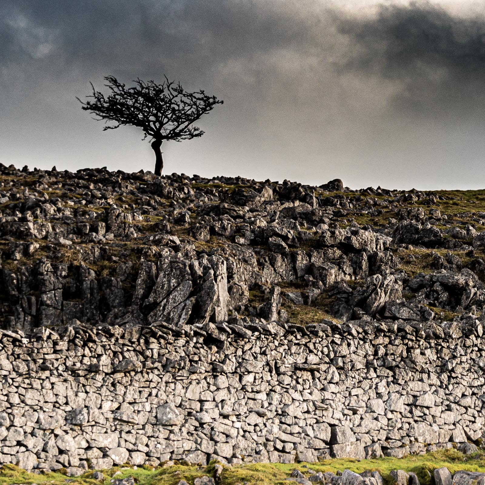
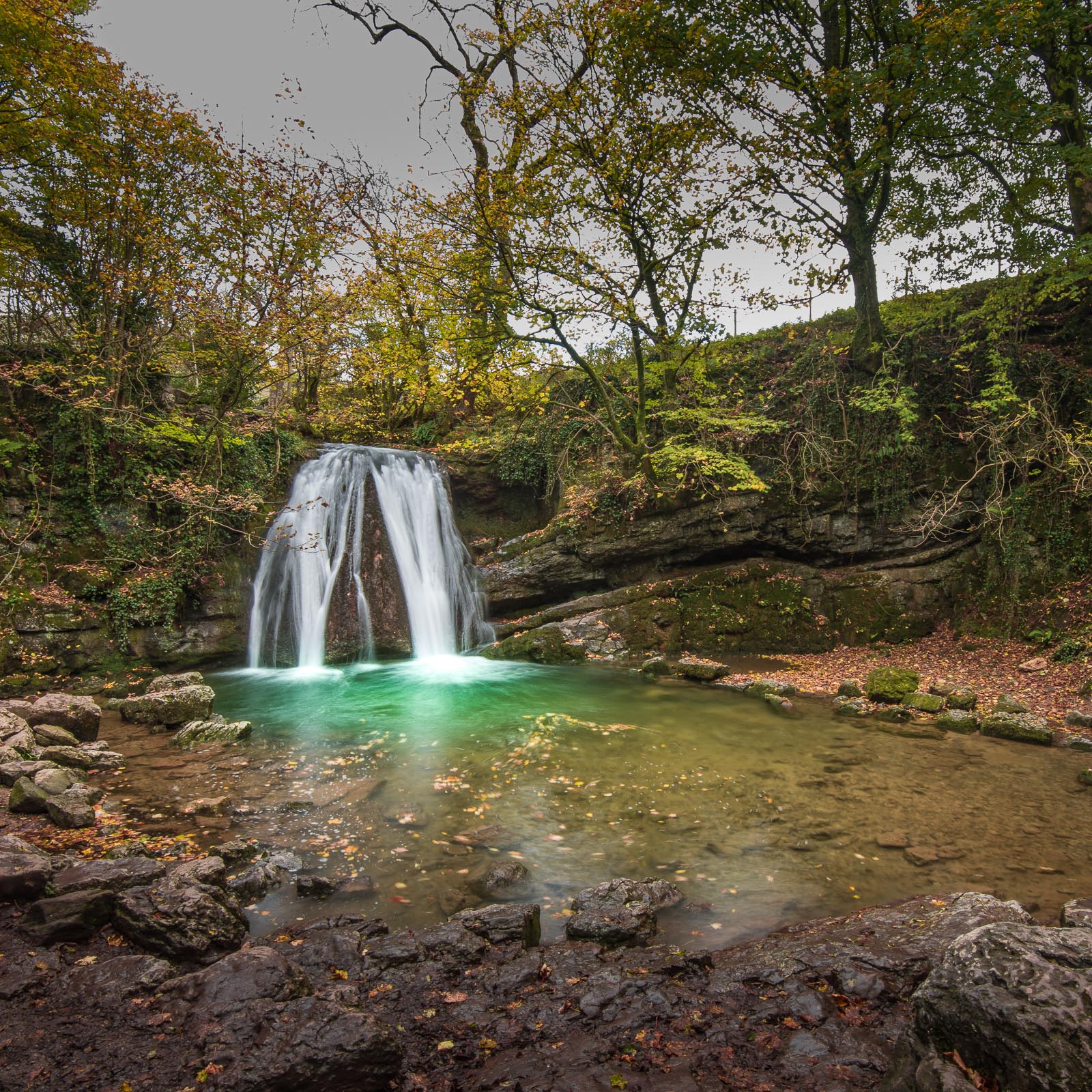
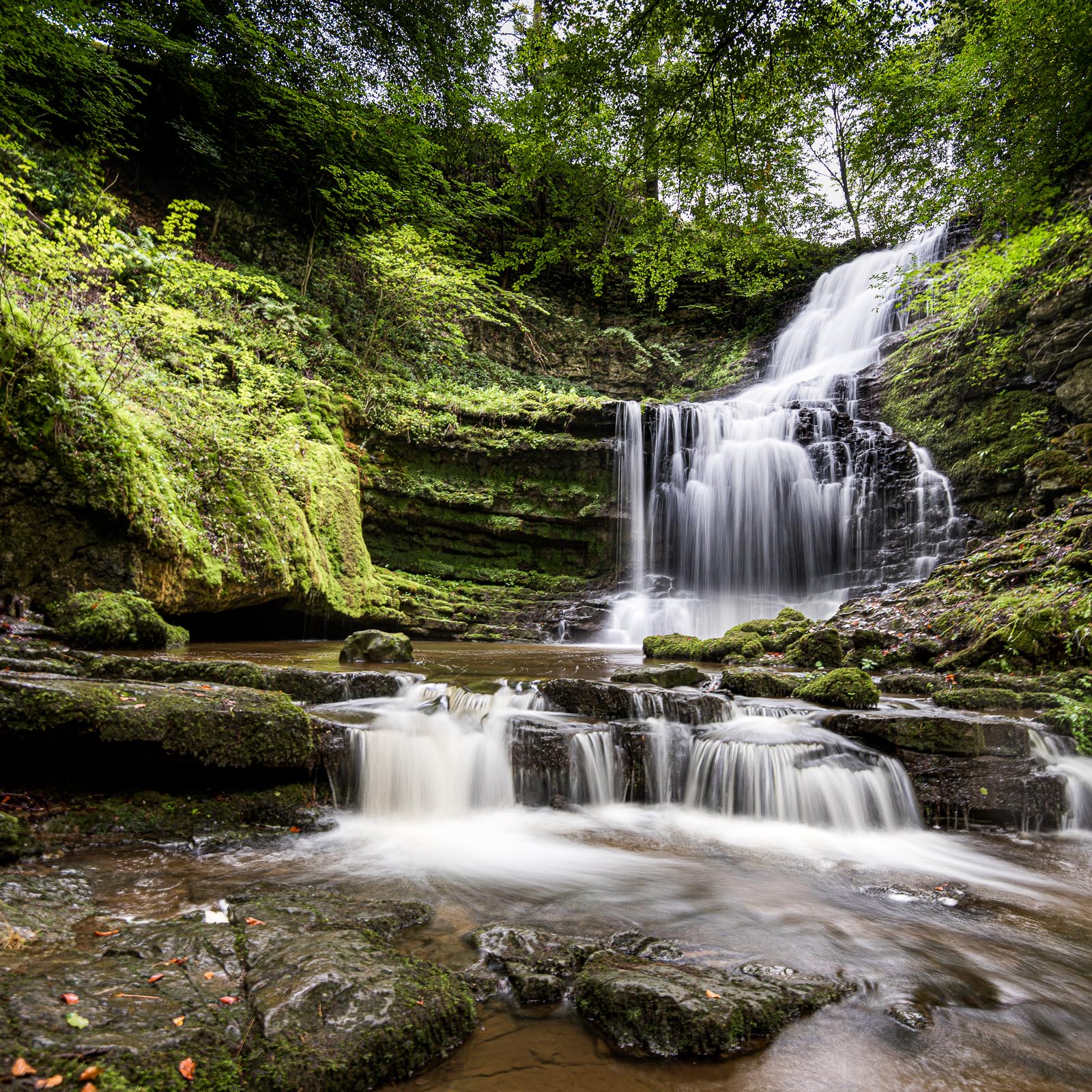
The rugged crags and limestone pavements bear witness to the passage of time, their stark beauty contrasting with the softness of the dales. Hidden within these stone fortresses are secret caves, their depths a playground for explorers and cavers. Cascading waterfalls, like nature’s own chandeliers, glisten in the sunlight, their cool embrace offering respite on warm summer days. Amidst this picturesque landscape, quaint villages with stone-built cottages huddle together, their rooftops crowned with slate. In the village squares, centuries-old pubs beckon travelers with the promise of warmth, hearty fare, and the camaraderie of locals who welcome visitors as old friends.
The Yorkshire Dales, a haven for walkers and ramblers, crisscrossed by an intricate web of footpaths and trails, invite exploration at every turn. Whether ascending the heights of Ingleborough, Pen-y-ghent, or Whernside, or simply wandering along meandering rivers, each step unveils a new vista, a fresh perspective on this ancient land.
As day gives way to night, the Yorkshire Dales transform into an astronomical wonderland. Far from the glare of city lights, the velvet sky reveals its treasure trove of stars, constellations, and celestial wonders, inviting contemplation beneath a celestial canopy.
In the Yorkshire Dales, time stands still, and the soul finds solace in the embrace of nature’s majesty. Here, amid the rolling dales, rocky outcrops, and whispering streams, one can reconnect with the rhythms of the Earth, finding peace and perspective in the enduring beauty of this enchanting landscape.